|
|||||||||||||||||||||||
|
|||||||||||||||||||||||
|
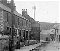
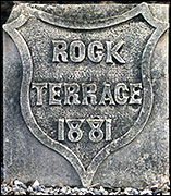
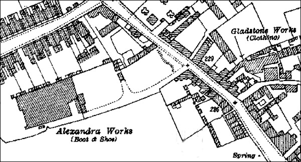
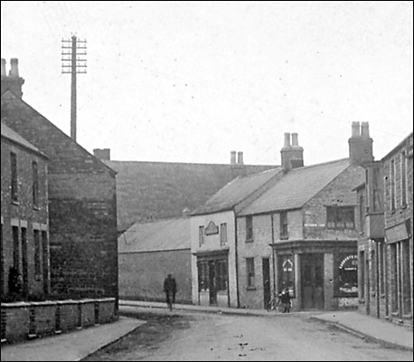
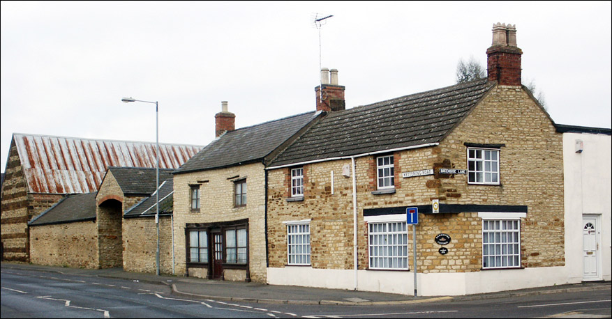
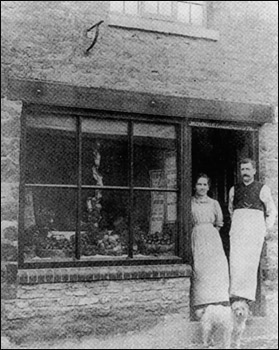
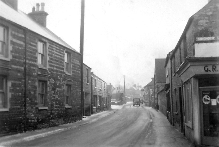
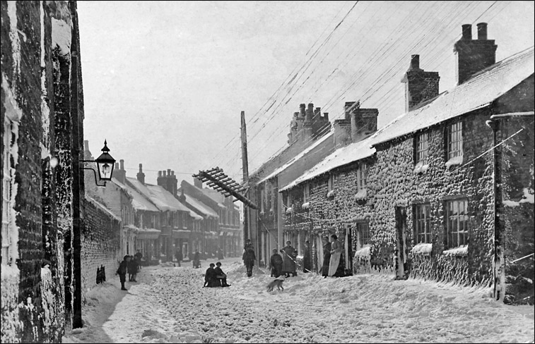
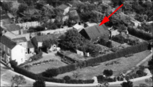
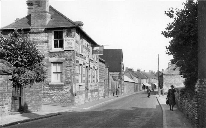
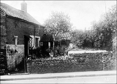
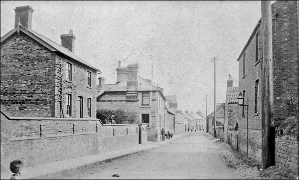
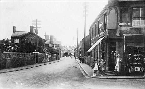
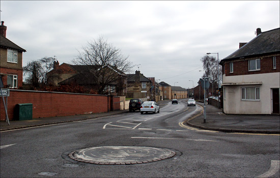
Anyone looking at the modern townscape at the north end of the High Street might suppose that Kettering Road begins at its junction with Station Road. This however is an error. According to the best available information in the Society's archives, Kettering Road has always begun a hundred and fifty metres or so earlier - at the junction with Bakehouse Lane, and at certain times was even deemed to have included Rock Terrace. The first set of buildings on the north side of Kettering Road were shops, then followed a range of buildings belonging to Redlands Farm, then came the Waggon & Horses public house. The south side started with a stone terrace before opening right out to undeveloped land. A few cottages fringed the road before the corner of Station Road. This part of the town was therefore a mirror of Burton's early years as it developed from a village to a town: a farm, an inn, a few shops, and mostly small stone cottages housing families whose occupations came from a range of manual skills, such as labourers, shepherds, tailors, seamstresses and shoe repairers. |
|||||||||||||||||||||||
By the early years of the 20th century, the shoe and clothing trades were firmly established, and the balance of work had shifted from agricultural to light industrial. Two large factories occupied spaces behind Kettering Road.
|
|||||||||||||||||||||||
|
|||||||||||||||||||||||
|
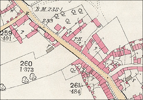
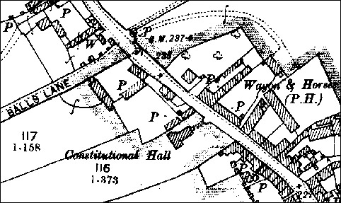
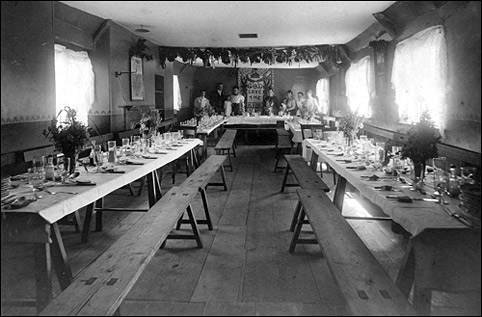
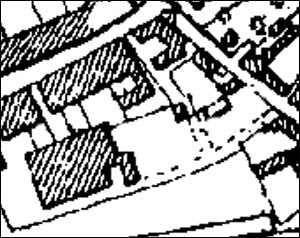
The Constitutional Hall For a short period of time, probably no much more than fifteen years, a wooden-framed structure clad in corrugated iron panels occupied part of the large empty space between the terrace and the other cottages along the south side of Kettering Road. It is not on the OS maps of 1886 and 1928, above. This building was the Constitutional Hall (see map below). Amongst other things, it housed the meetings of the Latimer Habitation of the Primrose League, and one of its uses from 1912 was as a venue for meetings of the Conservative Club before the building was demolished in about 1915. As can be seen from the map, it had a T-shape plan and was approached by a path running from a curved gateway in Kettering Road. After its demolition, half of the building was acquired by Mr Alfred Barratt who had it moved to the back garden of his house (Collingwood in William Street), where it served as a store for his business (he was a harness dealer).
Kettering Road - north side The main feature of the north side of Kettering Road was the Waggon & Horses pub. It was adjoined on the east side by two cottages belonging to Redland farm. These were demolished in the early-mid 1960s and the site became a second-hand car lot, which it remains today. The pub continued to trade as a public house until it closed in 2010. It is now a residential property. Click here to read the full story of the Waggon & Horses.
Beyond the Waggon & Horses was a stone-built house, which in 1901 belonged to the Paynes. Affer the death of her parents, Ethel Payne had a bungalow built in the grounds on the west side - sometime in the middle years of the century - and moved in there. Further on, almost opposite the bottom of Station Road, a large detached house was built in the 1920s. Kettering Road - south side
With the shoe factory built and the Constitutional Hall gone, a large open space lay between the factory and the road. this became known as "Coleman's Green", named after a Mr Sidney Coleman son of the licensee of the Waggon & Horses. He had a workshop on the open space. The open space was used as a winter site for travelling caravans in the 1930s-50s, then it became a filling station. Next past the green was Joe Sharpe's cottage, then two other buildings built higher than street level. They were approached from a steep sloping access at the rear. Fianlly on the corner of Station Road was a bakery and retail shop.
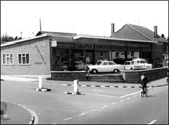
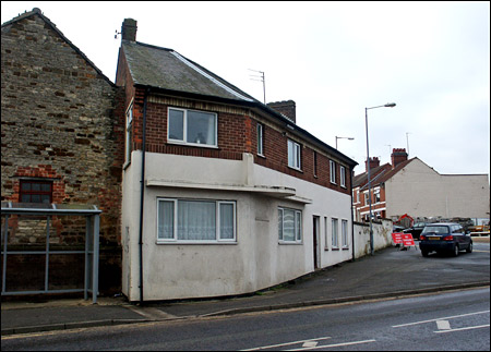
Station Road Corner This was originally known as "Norton's Corner" after the bakery which was built on the corner by William Norton in 1884. The bakery expanded to a retail outlet as well. Unfortunately, by the 1930s the narrowness of the road junction was deemed to present a traffic hazard, and the very drastic solution adopted was to take a huge diagonal slice off the bakery building and rebuild it with a long diagonal face at 45 degrees to the junction. It later became a general stores, before closing and becoming a private residence. To read more about this shop, click here.
For a history of the site on the opposite (Kettering) side of the Station Road/Kettering Road junction, click here.
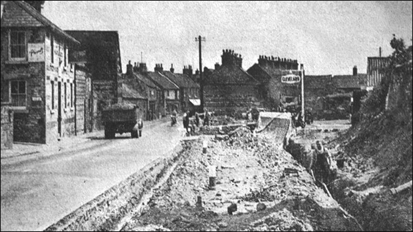
The 1950s saw an increase in the volume of road traffic down the A6, and demands to “do something” about the bottleneck opposite The character of this part of town had changed forever, and looking at the old photos above really is like looking through a window onto a very bygone age. |
|||||||||||||||||||||||
