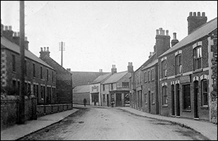
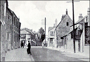
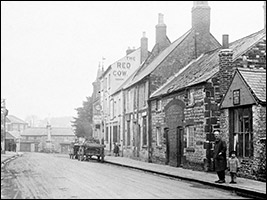
| For anyone born and bred in Burton Latimer in the first half of the last century, the changes to the High Street in the last fifty years have been nothing short of dramatic. It is not until one looks at old maps and photographs that one realises just how much of the old familiar streetscape has disappeared.
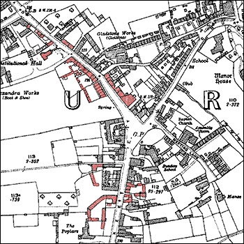
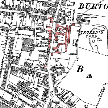
In fact, as a rough total, only 45% of the buildings which lined the High Street in 1950 still remain. From the former shop at the corner of Station Road (and that was radically altered in the 1930s when they re-aligned the junction) to the corner of Pioneer Avenue, every house/cottage has been demolished. The same applies to everything from the corner of Bakehouse Lane to the small redbrick building at the end of Osborn House near the Cross - once the Co-op, now new housing.
 |
 |
|
The High Street in about 1920
The red areas are the ones which have been demolished and (mostly) redeveloped
|
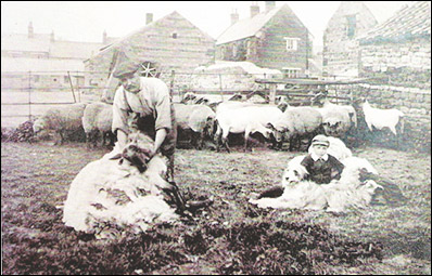
Similar clearances have occurred on both sides of the street in the section between the present Countdown and Hilly Farm, and also between Duke Street and Pigotts Lane, between Pigotts Lane and the present Bradley's/Bonner's, between The Duke's Arms and 149 High Street (the present Band Club building has only been there since the 1960s), and between 149 High Street and number 159. A hundred years ago, Washpit Farm stood on the site currently occupied by Budgens supermarket and car park. It subsequently became a private residence, then the home of the owner of the repair garage which took over the farm buildings; then it was demolished to create a filling station; finally that too went, and the supermarket arose where once a farmer clipped his sheep, as we see in the picture below.
|
|
| Washpit Farm, probably in the early 1900s.
The low-roofed building in the very background on the left (behind the low farm barn) is the present Bradley's/Bonner's
|
|
On the following pages in this section, we recall the High Street many of us once knew, and the buildings which were once familar landmarks along the High Street, but which - for one reason or another - have now gone forever.
|
